


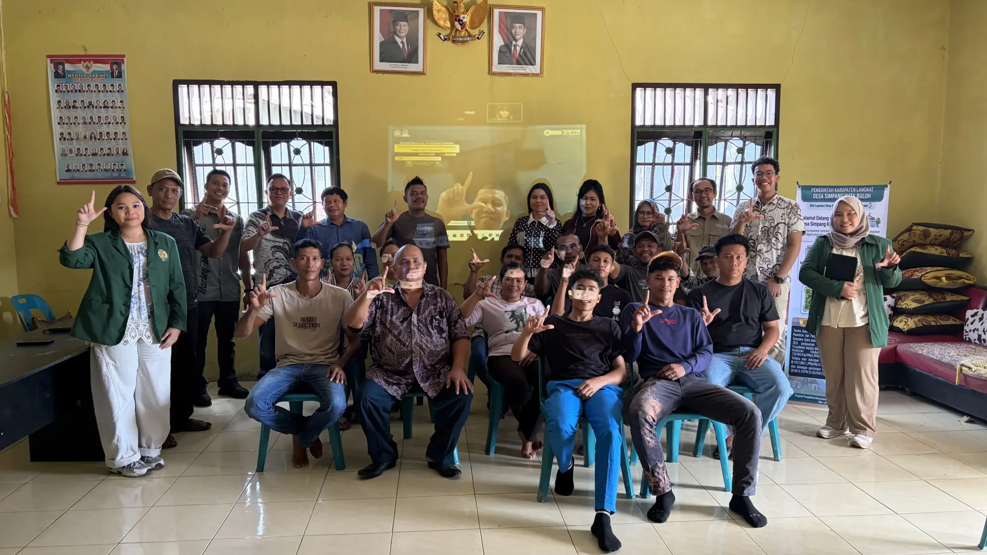
Through cross-university collaboration among Universitas Sumatera Utara (USU), Universitas Terbuka (UT), and Universitas Andalas (UNAND), a community service program in Simpang Kuta Buluh Village has successfully strengthened a disaster risk-based public asset management system. The program involved providing a Weather Station as an instrument for real-time microclimate monitoring, while integrating geospatial vulnerability mapping and vegetation-based mitigation to ensure the sustainable protection of vital rural infrastructure.
Hydrometeorological disaster threats, such as landslides and tornadoes, continue to pose risks to the hilly areas of Langkat Regency, particularly Simpang Kuta Buluh Village, Sei Bingei District. In response to the area’s high geophysical vulnerability, a joint academic team from Universitas Sumatera Utara (USU), Universitas Terbuka (UT), and Universitas Andalas (UNAND) implemented an integrated community service program.
Focusing on strengthening technology- and environment-based disaster mitigation, the program was led by Dr. Lasma Melinda Siahaan, S.E., M.Si., together with Prof. Dr. Elisabet Siahaan, S.E., M.Ec. from USU, Yasir Riady, S.S., M.Hum. from UT, and Prof. Ir. Taufika Ophiyandri, S.T., M.Sc., Ph.D. from UNAND. In close coordination with the Head of Simpang Kuta Buluh Village, Agustinus Tarigan, the program was attended by approximately 35 participants, including village officials, public asset managers, and local community leaders.
As a concrete technology-based intervention, the community service program provided and installed a modern weather monitoring instrument, a Weather Station, at a strategic location in the village. The provision of the Weather Station was intended to enable real-time monitoring of microclimate conditions, including rainfall, wind direction and speed, temperature, and air humidity.
The weather station serves as a vital component in establishing a local-level early warning system, enabling village officials and residents to detect potential extreme weather conditions before they trigger ground movement or strong winds. With the precise data generated by the Weather Station, preventive measures and independent evacuation efforts can be carried out more quickly and systematically, minimizing the risk of material losses and casualties.
The weather technology innovation was integrated with an optimized Geographic Information System (GIS)-based geospatial information system for mapping village public assets. The community service team provided intensive assistance to village officials in identifying and recording the coordinates of vital assets—including the village office, schools, healthcare facilities, and places of worship—and integrating them into the village’s digital mapping portal.
Through the integration of spatial data and real-time data from the Weather Station, the village government now has a comprehensive instrument for monitoring infrastructure vulnerability, managing risk-based spatial planning, and accurately determining evacuation routes and refugee assembly points. This approach not only improves the efficiency of development planning but also helps prevent budget inefficiencies resulting from repeated infrastructure damage.
To complement digital and technological mitigation measures, the program also implemented an ecological, vegetation-based mitigation approach in the field. The community service team provided and facilitated the planting of deep-rooted slope-strengthening seedlings at locations vulnerable to ground movement. The planting of specialized vegetation was designed to naturally reinforce soil structures, reduce erosion, and improve the stability of hilly slopes during periods of high-intensity rainfall.
The Head of Simpang Kuta Buluh Village, Agustinus Tarigan, expressed his deep appreciation for the Weather Station assistance and reforestation initiative, which he considered to have shifted the village’s disaster management paradigm from a reactive emergency response approach toward structured and sustainable preventive planning.
The implementation of this collaborative community service program directly supports the integrated achievement of the Sustainable Development Goals (SDGs). The provision of the Weather Station and asset vulnerability mapping protects infrastructure and residents’ livelihoods, supporting SDG 1 (No Poverty) by preventing recurring poverty caused by material losses from disasters, as well as SDG 2 (Zero Hunger) through the protection of agricultural land and local food security from extreme weather threats.
Improved disaster preparedness also contributes to SDG 3 (Good Health and Well-Being) by safeguarding residents and village healthcare facilities. In addition, education and technical training for village officials support SDG 4 (Quality Education) by strengthening community-based disaster science capacity and literacy.
All of these achievements ultimately contribute to SDG 17 (Partnerships for the Goals), realized through multi-stakeholder collaboration among USU, UT, UNAND, and the Simpang Kuta Buluh Village Government.